Shared location data changes how teams see construction
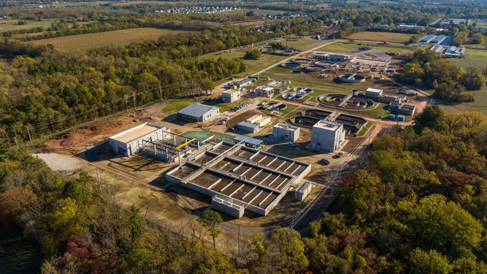
Recurring drone surveys and a shared GIS environment are giving the U.S. Army Corps of Engineers’ New Orleans District a clearer view of construction across two Louisiana infrastructure projects: the Comite River Diversion and a Confined Disposal Facility along the Gulf Intracoastal Waterway. The tools bring aerial imagery and other project records into a common geographic view, so teams can consider information in relation to where work is happening. That can matter on active sites, where conditions change and separate records may describe different moments in the project.
The work points to a practical shift in project oversight. Survey records, imagery, engineering plans and field reports can inform decisions together when teams organize them around location, rather than reconcile disconnected files after the fact. A map-based system doesn’t make information accurate by itself; the underlying records still need to be collected and maintained. But it can make gaps, changes and overlaps easier to spot while there’s still time to follow up.
This is more significant than it looks. Construction teams often work across disciplines, and each group may produce information in a different format or on a different schedule. A shared GIS environment gives those records a common reference point, which can reduce the effort of figuring out which file applies to a particular place or condition. The payoff depends on how consistently teams update and use the system.
One mapped record for the Comite River project
ES2, an Esri Gold Partner focused on geospatial services, surveying, engineering and environmental consulting, supported the Comite River Diversion across about 400 acres of active construction. Its ArcGIS workflow brought drone imagery, survey records, CAD plans, compliance documents and field observations into one environment. The range of information matters: a design drawing can show what’s planned, while an observation or survey can help show what’s present on the ground.
Field Maps and Survey123 supported verification, geotechnical observations and reporting. These tools gave field teams a way to connect observations to mapped locations, which can make later review more direct than searching through notes without a spatial reference. The records can also help people in the office understand where an observation was made and how it relates to project plans. That connection is useful only when field entries are clear enough for others to interpret.
ES2 also completed more than 48 recurring uncrewed aircraft system surveys, giving USACE repeated views of changing site conditions. The aerial monitoring reduced the need for routine ground inspections while keeping current project information accessible to the team. Repeated surveys can help teams compare conditions over time, although an image still needs context: it shows visible conditions, while other records may be needed to explain what’s happening below the surface or why a change occurred.
Keeping imagery, design data and compliance records together also created a digital project record that could support reporting and help stakeholders work from the same information. A shared record can make it easier to trace how a project’s documentation relates to a particular site area. It doesn’t settle every disagreement about the meaning of a record, but it can give participants a more consistent starting point for resolving one.
Monthly terrain data informs facility construction
At the Confined Disposal Facility, ES2 established survey control, documented preconstruction and existing conditions, and supported construction layout. These tasks create reference points for understanding how the site is expected to change as construction proceeds. The team used ArcGIS Drone2Map and ArcGIS Online to process recurring drone surveys and publish updated information in a shared geographic view.
Monthly terrain models supplied volume calculations for construction planning and material management. Those models can help teams assess the shape and quantity of material represented in a surveyed area, giving planners a recurring source of information as work advances. Their value depends on the quality and timing of the survey, as well as on how the calculations are applied to construction decisions.
Survey and drone data also informed machine-control models, helping contractors follow design surfaces more precisely and reducing the potential for rework. That link between survey information and equipment guidance can bring design intent closer to field execution. It’s a practical use of geospatial data, though it still relies on accurate models and clear coordination between the people preparing them and the people using them on site.
Project progress, compliance records and weather conditions were available in the same ArcGIS environment, supporting coordination and oversight as work advanced. Bringing these records together can help a team consider whether conditions on site align with plans and reporting needs. And yet, a shared view is only as useful as its updates; stale information can create false confidence if users assume every layer reflects the latest conditions.
Location ties project information together
Across both sites, the main operational gain came from connecting field observations and technical records to a common geographic reference. That gave stakeholders a more current picture of site conditions and project progress, with less reliance on manual file reconciliation. The approach also makes it easier to ask questions across records: where a change occurred, what information describes that area, and whether the available documentation is current enough to guide the next step.
For infrastructure teams managing active construction, the Louisiana projects show how repeated aerial surveys and location-based data can sharpen field coordination and reporting throughout delivery. If you’re working in this space, the useful question is how often the information is refreshed and who’s responsible for keeping it usable across teams. The software matters, but the working habits around data matter just as much.
(And this is the part most people overlook.) A mapped record can improve access without removing the need for judgment. Teams still have to interpret survey results, check field observations and decide whether a difference reflects construction progress, a measurement issue or some other condition. Better visibility. That’s the benefit the projects illustrate, and it’s a more grounded claim than suggesting that mapping alone solves coordination.